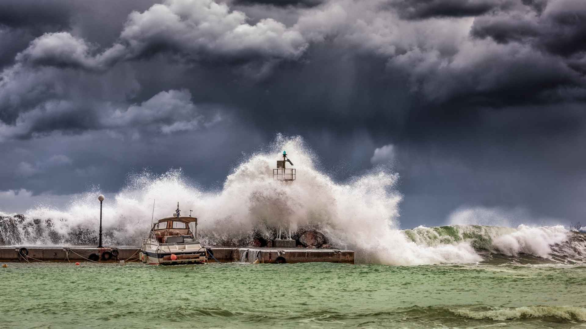
The Atlantic is heating fast—and hurricane season may speed up with it. Coastal communities from the Caribbean to the Gulf and up the U.S. East Coast are on watch as sea surface temperatures surge. Warm water is the fuel for tropical cyclones, and the tank is full. How long can the quiet stretch last?
Why record sea surface temperatures set the stage for stronger cyclones? Across the Main Development Region between Africa and the Caribbean, hurricane specialist Michael Lowry notes waters are above average and well past the 26.5°C threshold for storm formation.
Colorado State University’s Phil Klotzbach says the basin is “sufficiently warm,” while the University of Miami’s Brian McNoldy points to ample heat from Africa to the Gulf. Near Miami, a buoy off Virginia Key recently hit 90°F (32.2°C)—plenty of energy for intensification. How the heat stacks up:
| Region | Recent reading or signal | Cyclone implication |
|---|---|---|
| Virginia Key buoy, near Miami | 90°F (32.2°C) | Energy for intensification |
| Caribbean Sea and Gulf of Mexico | Hotter than usual for early August | Faster formation and strengthening |
| Main Development Region (Africa–Caribbean) | Above 26.5°C hurricane threshold | Supports long-track storm genesis |
These numbers don’t guarantee storms, but they remove a big obstacle.
What could flip the switch from quiet to busy? Lower wind shear and Madden–Julian Oscillation could flip the switch: Strong upper-level winds have torn at systems. Klotzbach has emphasized that persistent shear—winds changing with height—kept activity muted.
That pattern may ease as the Madden–Julian Oscillation shifts into phases 1–3, a setup that often reduces shear and moistens the tropics. University of Miami researcher Andy Hazelton adds that shear is relaxing as the MJO edges closer to Africa, with models hinting at more favorable upper-level winds.
August peak season arrives as NOAA flags near-record Atlantic heat anomalies
With August underway, we’re entering the seasonal ramp-up. NOAA reports the tropical Atlantic is among the warmest in decades for early August, especially the Caribbean and Gulf—conditions that can speed formation if the atmosphere cooperates. Parts of the basin remain dry and stable, as Hazelton notes, but overall the backdrop is turning more active through late September.
Here are practical steps to stay ready before advisories ramp up:
- Track official National Hurricane Center updates and local alerts.
- Know your evacuation zone and routes; review them with family.
- Refresh a basic hurricane kit: water, medications, documents, power backups.
- Check insurance details and take photos of property for records.
The ocean has primed the pump. If shear eases and moisture increases, the season could shift quickly from quiet to busy.