New research ties a looming Cascadia quake to 1,000‑foot waves that might redraw America’s Pacific shoreline.
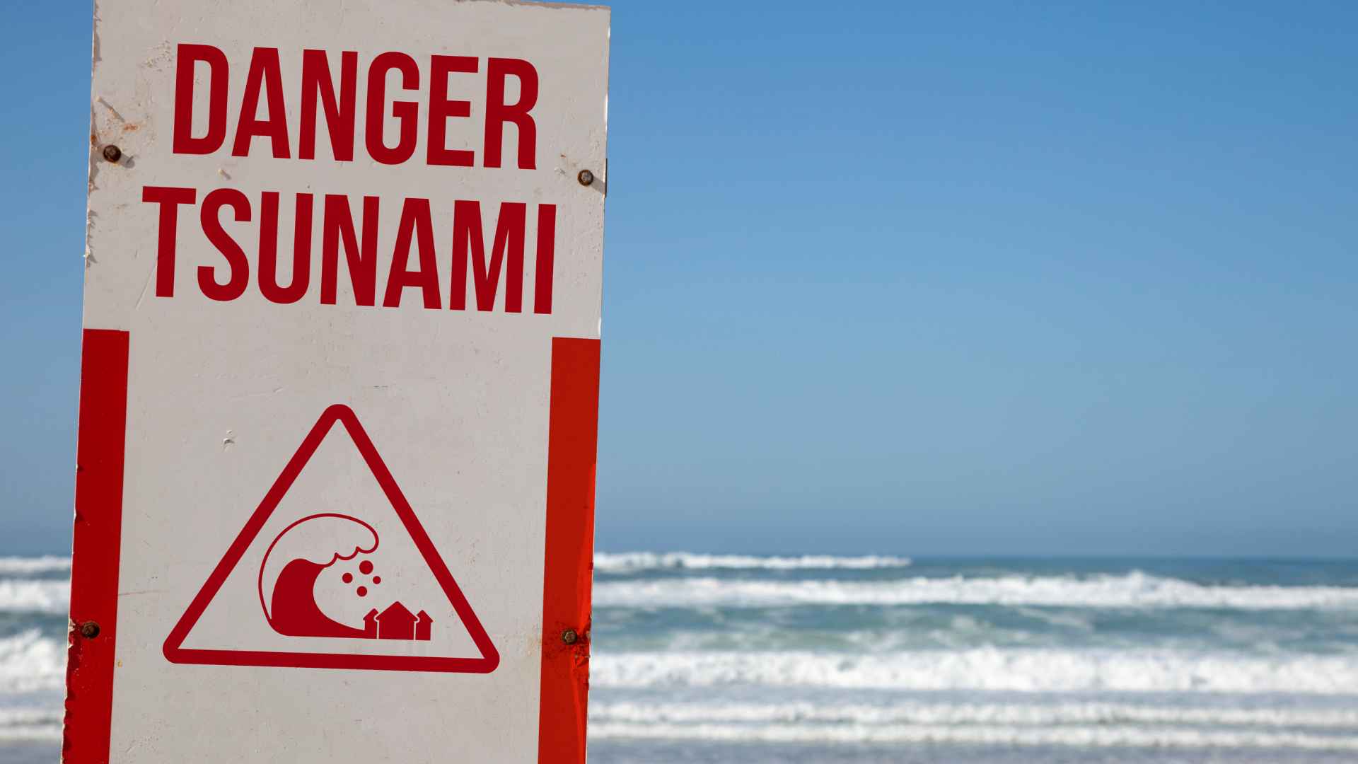
The prospect of a “mega tsunami” once confined to disaster movies now sits on scientists’ short‑term radar. A Virginia Tech team reports that a powerful earthquake along the Cascadia subduction zone—stretching from northern Vancouver Island to California’s Cape Mendocino—has about a 15 percent chance of striking within 50 years. Add rising sea levels and the result could be walls of water tall enough to erase entire coastal neighborhoods.
Cascadia subduction zone earthquake could trigger towering waves and widespread coastal subsidence
First things first: why is Cascadia such a big deal? The fault is locked and building stress. When it slips, coastal land could drop as much as 6½ feet before the first wave even arrives. Northern California, northern Oregon and southern Washington would feel the brunt, but the shock would reverberate across the Pacific. “The expanded floodplain would slow recovery for years,” warns lead author Tina Dura.
Who should pay closest attention? Coastal homeowners, port managers and anyone mapping new housing developments near low‑lying inlets.
Alaska and Hawaii face additional landslide and volcano driven tsunami threats today
Cascadia isn’t alone on the worry list. Alaska’s steep, glacially scarred fjords keep shedding rock as permafrost thaws, increasing slide‑generated waves. Meanwhile, Hawaii’s volcanic flanks have a long history of collapsing into the sea—Lanai was struck by a 1,000‑ft surge roughly 105,000 years ago. With Mauna Loa and Kilauea still active, scientists say a similar event, though rare, remains on the table. Scary, right? The snapshot below highlights the distinct hazards across the three regions.
| Region | Primary trigger | Notable risk factor |
|---|---|---|
| Alaska | Landslide‑induced waves | Rapid glacial melt destabilizing slopes |
| Hawaii | Volcanic flank collapse | Active shield volcanoes piling lava layers |
| West Coast | Megathrust earthquake | Locked Cascadia fault plus sea‑level rise |
As the table shows, every Pacific locale has its own brand of danger, yet the outcome—massive displacement of seawater—looks eerily similar.
Experts urge coastal communities to update evacuation plans and retrofit critical infrastructure
So, what can towns do right now? Authorities recommend revising evacuation maps to account for newly modeled flood zones, elevating fuel depots and communications hubs, and running regular siren drills. Homeowners are urged to keep “go bags,” know vertical shelters, and retrofit foundations where possible. Remember, the first wave might not be the largest; returning too soon could be fatal.
In fact, planners stress regional cooperation. “A Cascadia event will not respect state lines,” one emergency manager notes. Consequently, shared warning systems and mutual‑aid pacts could shave minutes off response times—and those minutes save lives.
Whether the next giant wave starts with a fault snap, a cliff collapse or a lava‑laden landslide, the message is the same: preparation beats surprise. Communities that harden infrastructure, educate residents and practice swift evacuations stand the best chance of riding out nature’s tallest test.